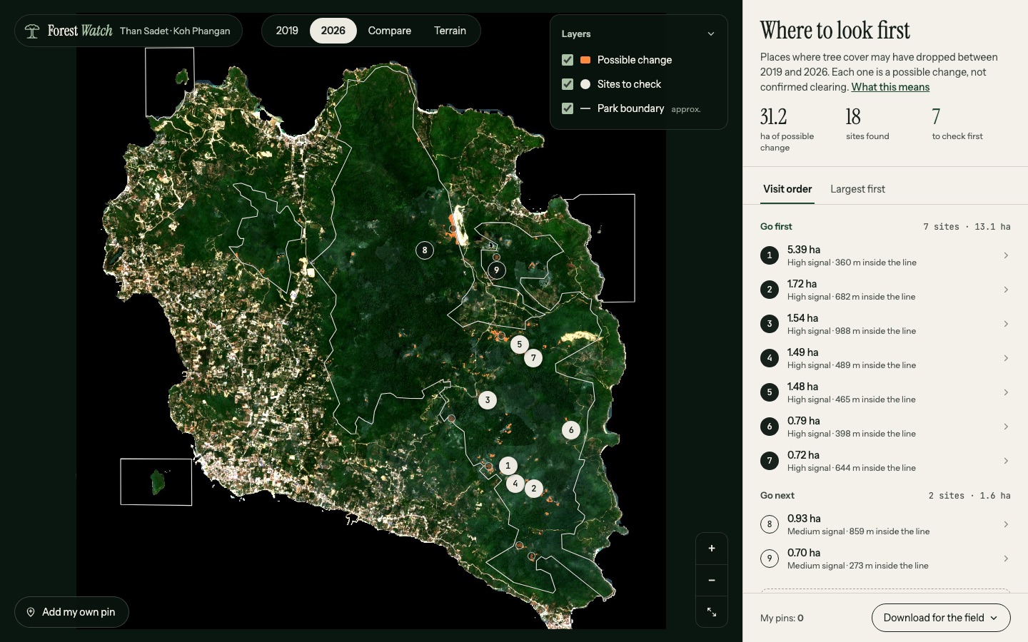
I live on Koh Phangan, and I've watched the island change: new roads, new houses, cleared hillsides. I wondered whether freely available satellite images could help identify places where forest loss might be reaching protected areas.
So I compared imagery from 2019 and 2026 and made a map highlighting places that might warrant a closer look on the ground. It's an initial exploration, not proof of illegal clearing.
See the map →
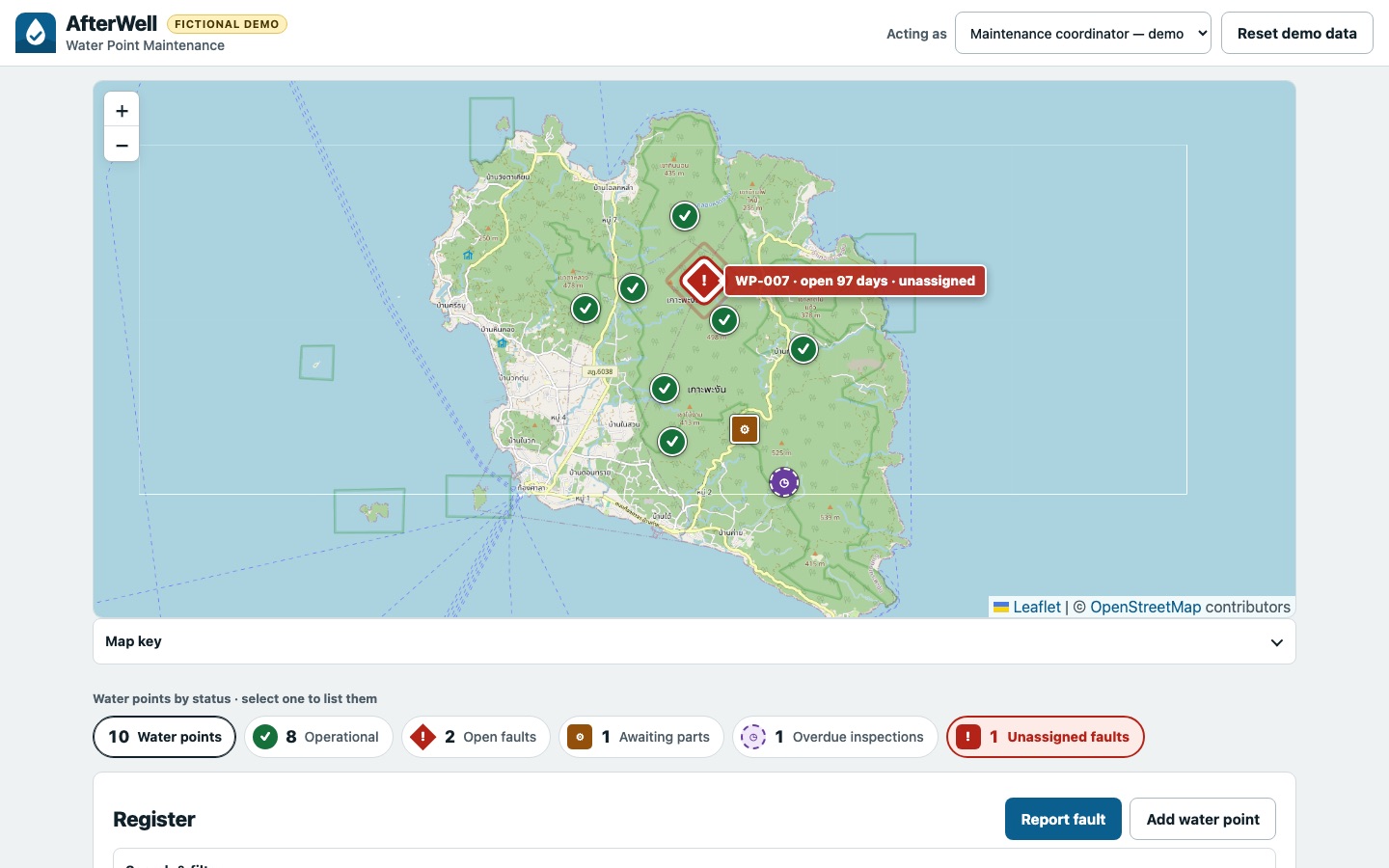
I watched a video about a technician repairing a village water pump that had been broken for ten years. It made me wonder how something as basic as a repair could go unresolved for so long, and whether the problem was partly about tracking issues and making sure someone followed up.
AfterWell is a small demo exploring how a broken water point could be tracked until someone takes responsibility for resolving the problem. The data is fictional; the idea is what I'm interested in exploring.
Try the demo →